Advice
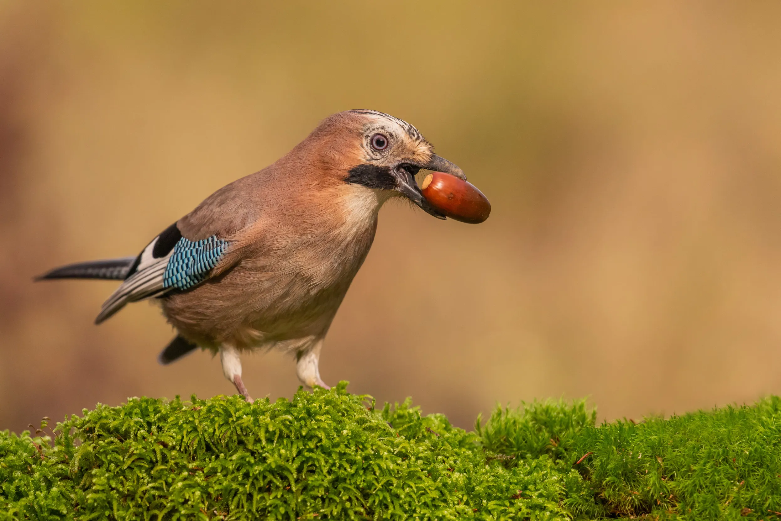
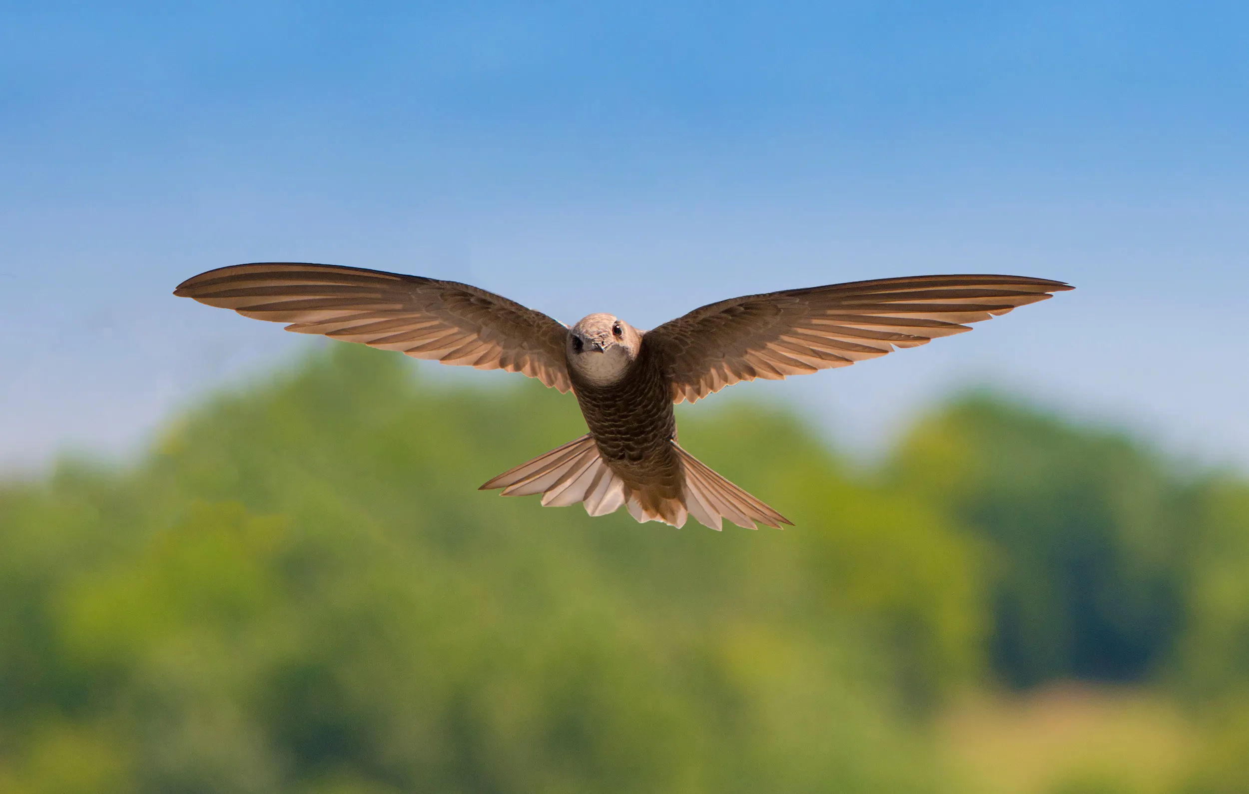
Wing Tips: What to see in July
It’s a jolly holiday with Wing Tips – here are five sublime sights to brighten your July.
One of the most significant steps you can take to protect the wildlife around you is to record it.

If you are new to recording, the incredible diversity of the UK’s wildlife can be a bit daunting, especially when it comes to trying to identify what you’ve seen. But there are lots of ways that you can get help. There are hundreds of natural history societies and recording groups that you can join, including many groups that are active on social media, or you can get help with identification using some of the online tools listed below.
You can also get in touch directly with your Local Environmental Record Centre (LERC). LERCs play a vital role in collating together wildlife records and making sure that they are fed into the planning process, so it’s well worth making sure that your records make it to the relevant LERC in an appropriate format. They’ll be very happy to help with questions about recording wildlife and should also be able to help put you in touch with local groups and societies.
You can find out which LERC covers a particular part of the UK by using the LERC finder tool at alerc.org.uk. Each LERC will be able to advise on their preferred way of receiving records, which will often include using one of the online systems detailed below. Not all LERCs will actively pick-up records from these systems though, so it’s worth asking if they do, and arranging to send them your data separately if needed.
If you’re new to recording, iNaturalist is an easy-to-use website and app that provides help with identification and allows you to engage with a huge community of wildlife recorders from around the world. Simply take photos of the wildlife you see, upload them to iNaturalist along with a few details of when and where you took the photo, and you’ll be provided with suggested identifications based on automated image recognition.
These are usually impressively accurate, but sometimes iNaturalist will suggest a species that only occurs in another part of the world, so it’s worth having a quick check and amending the identification if needed.
Once a sighting has been added to iNaturalist it is available for review by the iNaturalist community, who can confirm or improve on the initial identification – so don’t worry if you can’t work out what you’ve seen, someone will soon be along to help you out.
A nice feature of iNaturalist is the option to set up wildlife projects to bring together wildlife observations for a particular place, so you can see what else is being found on your favourite sites. It also comes with an easy-to-use app, and if you use this to record your sightings, it’ll automatically record the time and location for you.
Once a record on iNaturalist has two or more people in agreement on its identification, it gets flagged as ‘research grade’ and will then be made available through iRecord to Local Environmental Record Centres and national recording schemes.

More experienced recorders and those with lots of records may prefer to use the iRecord system as a faster way of entering records where you are confident of the identification. Using either the iRecord website or mobile app, you can quickly record all the wildlife that you find and make your records instantly available to a network of expert verifiers. Unlike iNaturalist, a photo is not required for each record, although it will help verifiers if you provide one, especially for unusual or difficult to identify species.
Putting records onto iRecord is the best way of making them available to the widest possible set of people, and even if they don’t get verified immediately, they are safely stored for future use. In a similar way to projects on iNaturalist, you can set up or join ‘activities’ to bring together records for a particular place or set of species. It’s also very easy to export your records out into a spreadsheet if you need to share your data with anyone who doesn’t use iRecord.
BirdTrack is a website and app which is specifically designed for recording birds. This may be a good choice if you mostly record birds and are confident about identification.
You can either add individual records or a ‘complete list’ of all the birds you see on a visit to a site; the latter being particularly useful for building up a picture of the community of birds using the site, and how this changes over time.
By submitting complete lists, you will also help conservation scientists to build up a picture of how species’ populations and distribution are changing over time, and to identify priorities for research.
Swift Mapper is another easy-to-use website and app, designed specifically to collate records of breeding Swifts around the UK. As well as recording sightings of nesting Swifts, you can also input locations of Swift nestboxes and ‘screaming parties’ of Swifts flying at roof height which indicate that they are nesting nearby.
The information collected through Swift Mapper is freely available to everyone, including local authority planners, developers and individuals or groups who want to help their local Swifts. Mapping breeding Swifts helps determine where active nest sites need to be protected, and where new nesting opportunities for Swifts would be best provided – the closer new potential nest sites are to existing Swift colonies, the greater the chance they will be occupied.
Whatever method you select to record the wildlife that you see, there are a few guidelines to bear in mind.
Always include the date, time and an accurate location – the more precise a location you can put on a record, the more likely it is to contribute to the protection of special places. Try to aim for at least a 100m grid reference (or 100m accuracy if using iNaturalist) and add a meaningful location name to your record.
Try to visit the site several times during the year – the best time to survey for breeding birds or flowering plants is early spring to late summer, ideally in the early morning or evening for birds. But winter can also be important for certain species, and spring and autumn are significant for migrating birds. Regular recording is the most valuable means of surveying.
Make the most of your visit – record as much detail as possible about the wildlife you see. What was the bird or other animal doing? Was it feeding or hunting for food? Did you see signs of breeding, such as birds carrying nesting material or food for their young? Making a note of any unusual weather conditions could also prove useful.
Don’t guess at identifications – if you don’t know what something is, if possible take a photo and see if someone else can help with identification – iNaturalist is particularly good for this. Keeping a photographic record is also very useful.
Be careful where you tread – if the land isn’t publicly accessible (or at least visible from public footpaths etc), always contact the landowner to ask for permission to carry out your survey. And take care not to disturb any wildlife, such as nesting or roosting birds. Disturbing the nests of some particularly vulnerable bird species (as well as some other specially protected species, such as Badgers and bats) can be a criminal offence under the UK wildlife protection laws. So, keep your distance and stick to well-used paths to avoid causing any disturbance.
Record as much or as little as works for you – the more recording you do, the more you are contributing to our knowledge of the UK’s wildlife, but don’t feel like you have to record every single thing you see. Try focusing your efforts on features that are likely to support more wildlife, such as ponds and streams, native woodland with mature trees, or bushy hedgerows.

Certain species can also have greater weight as part of the planning process, either because they have increased protection under the UK wildlife protection laws (a few additional species listed on Annex 1 of the EU Birds Directive are also given added protection under separate UK laws) or because they are recognised as species of conservation concern (such as Red-listed and Amber-listed birds under the Birds of Conservation Concern or national priority species). It makes sense to record these as the highest priority. Many areas also have local priority species and habitats, so it’s worth checking these with your LERC.